 Cruising
Cessna Citation Latitude
Near Westchester County Airport
16,800 ft410 kt21 observations
متابعة الرحلة Follow a business jet over real terrain. Take the cockpit, watch from the window, or replay a flight worth seeing again.
Real observations. Reconstructed views. How it works ↗
14 flights observed · Last capture 2026-10-27 01:01 UTC
Cruising
Near Westchester County Airport
Climbing
Recorded near Morristown Municipal Airport
 On the ground
 Climbing
Recorded near Westchester County Airport
 Cruising
Near Philadelphia International Airport
 Descending
 Cruising
On the ground
 On the ground
 On the ground
On the ground
On the ground
On the ground
Regional receiver coverage, not a worldwide census. Live views run about 30 seconds behind observations. Replays show the recorded segment, which may not include takeoff or landing.
Aircraft positions, altitude and ground speed come from public ADS-B receivers. We rebuild the view in 3D and smooth the motion between known observations.
Business-jet types only. Military aircraft and privacy-marked aircraft are excluded. No owner, registration or callsign search.
Coverage can fade near the ground or over remote areas. Gaps are shown, never filled with a fictional landing.
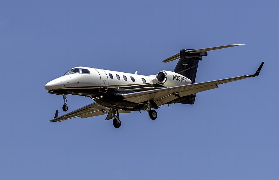
Observed flight data from adsb.lol · ODbL 1.0 · تنزيل بيانات الرحلات. Aircraft photos illustrate the aircraft family, not the individual aircraft. Nearby airports are geographic context, not a confirmed origin or destination.